
Verified Belton ZIP Coverage
Only one ZIP is verified for the incorporated Belton target in the inspected official and local sources: 76513. The research did not confirm an additional standard, unique, station, or PO Box-only ZIP for the city. That is a real research limit, not an invitation to fill a coverage table with nearby routes. A ZIP is delivery geography. It can cover a Belton mailing address and surrounding delivery area while CAD, county GIS, and the city boundary layer give different answers about a specific parcel.
| ZIP | Areas Covered | Post Office | Notes |
|---|---|---|---|
| 76513 | Belton mailing addresses and surrounding delivery geography using the Belton mailing city; city, county, and ETJ context must be checked address by address. | USPS Belton delivery-route or post-office information should be confirmed in the live lookup. | Not every 76513 address is inside city limits. No second Belton ZIP was located or verified. |
The next source for a particular address is USPS, not a guessed route list. Record the exact address entered and the postal result returned. Then compare the CAD situs and mailing fields, the county map, and the City of Belton boundary service. Each source has its own job: delivery, parcel description, mapped geography, or municipal context. None produces a ZIP-wide resident search.
Belton Delivery ZIP Checks
USPS ZIP Code Lookup is the official validation tool for a known delivery address or a city-and-state search. It returns ZIP and city information for the entered location. Its role is modest but important. A returned ZIP can confirm how mail is addressed on that date, while a parcel card can identify a situs and a city layer can show incorporation. A USPS result does not name occupants, identify a tax-roll owner, map a subdivision, or decide whether a street address falls inside Belton city limits.
The USPS ZIP Code Lookup is the appropriate place to validate a complete Belton delivery address.
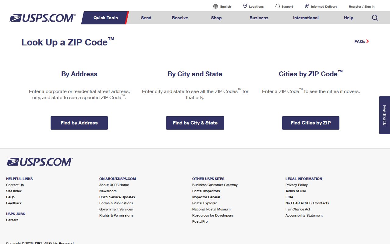
Use the postal result as a dated delivery record. If it differs from wording in CAD or a map popup, retain both versions rather than forcing them into one label. Postal assignments can cross government boundaries and can change. For a special route, post-office designation, or PO Box convention, the live USPS result is the required confirmation because the inspected sources did not certify an additional Belton route.
| Postal lookup field | Use in a ZIP code check |
|---|---|
| Known address | Validates the ZIP and city returned for that delivery location. |
| City and state | Finds postal ZIP and city information, subject to the current USPS response. |
| Returned ZIP and city | Records delivery wording, not a parcel boundary or person record. |
Belton ZIP Parcel Filters
Bell Central Appraisal District is the parcel step after postal validation. Its public search supports owner name, street number and street name, property ID, geographic ID, subdivision, neighborhood, DBA, tax year, property type, agent, protest status, and related date fields. The inspected help information did not document a ZIP-wide result mode. That gap matters: a searcher should not claim that CAD creates a complete 76513 list when the documented filters are mainly address, owner, parcel, subdivision, and tax-roll fields.
| Bell CAD field | Best local use | Postal limitation |
|---|---|---|
| Street number and street name | Find a known parcel after the postal address is checked. | No documented ZIP-wide output behavior. |
| Property ID or geographic ID | Preserve a stable parcel identifier and connect to map context. | Identifiers are not postal-route codes. |
| Subdivision or neighborhood | Refine property research in local development context. | These labels are not a certified ZIP boundary. |
| Tax year and property type | Place a card in its reported appraisal period. | They do not identify current occupants or a postal area. |
CAD advises starting with a complete address, then simplifying it to the street and number or omitting the street type if needed. A card can show a situs, mailing address, map ID, legal description, owner field, values, and exemptions. Mailing and situs are not interchangeable. A PO Box, an agent, an entity, or a nearby-city mailing label can appear without proving that the owner or another named person is at the property.
Searching One Belton ZIP
A ZIP-based question becomes more reliable when it is kept as a location workflow, not a broad name search. No inspected Belton portal returns a complete ZIP-wide people list. CAD is parcel centered, the county and city GIS sources are spatial, the County Clerk uses parties and recorded-document fields, and the voter-file process treats ZIP as one address component under a controlled request. The steps below preserve those boundaries while moving from a delivery label to a record with a known purpose.
- Enter the complete address in USPS ZIP Code Lookup and save the ZIP and city returned for that delivery point.
- Search Bell CAD by the full address, then a simplified street and number if necessary. Save the property ID, geographic ID, situs, mailing field, legal description, tax year, and retrieval date.
- Open the county map and the City Admin Boundaries service to record the parcel or boundary context. Note the layer name, map extent, and whether the location is in city limits, an ETJ, an adjacent city, or county-only land.
- Use the appropriate clerk, court, voter, permit, or historical source only for its narrow record question. Keep the role label and date with any result.
Once a ZIP check narrows the location to a named road, the Belton street directory has the address-level workflow for CAD, GIS, and recorded instruments. It should not be replaced with a postal search, because postal ZIPs do not preserve a deed’s legal description or a parcel’s map identifiers.
Belton ZIP and City Limits
“Belton, TX 76513” is a mailing convention, not a city-limit certificate. The City of Belton Admin Boundaries FeatureServer exposes City Limits, Neighboring Cities, Fort Hood, Bell County ETJs, TIRZ Boundary, and Belton ETJ layers. Bell County ArcGIS supplies broader parcel and road context. CAD supplies parcel fields. USPS supplies delivery validation. Combining them gives a defensible answer to separate questions, but none can be substituted for the others.
The City of Belton boundary service shows the layers used for municipal and ETJ context.
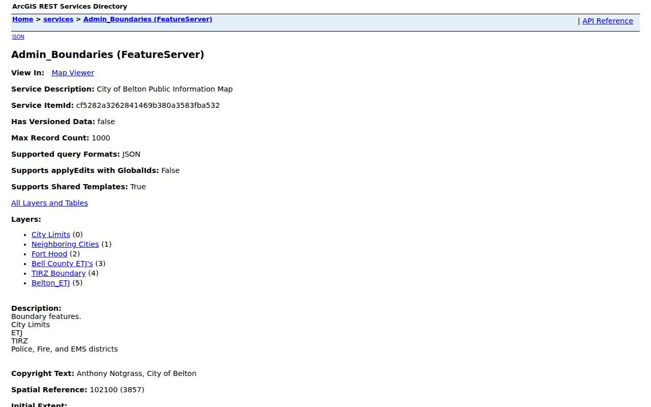
A valid local test records the entered address, the USPS ZIP and city result, CAD situs and mailing fields, GIS coordinates or layer, and city-limit status. Label each finding precisely as “mailing address,” “parcel geography,” or “incorporated boundary.” This prevents a common error: treating a Belton postal label as proof that an address is within the city, or treating an outside-city parcel as a postal error.
City-limit check. A 76513 mailing address can be outside incorporated Belton, and a parcel’s city status must come from the dated boundary layer, not from the ZIP alone.
Belton ZIP Mailing Mismatches
Mailing fields often create the most misleading ZIP conclusions. Bell CAD can show a parcel situs and a separate address for tax correspondence. The mailing entry might be a PO Box, an agent, an entity, or another place name. The source does not make that mailing entry an occupancy statement. Similarly, a Belton ZIP in a field does not prove that the parcel is inside city limits, and a city-limits parcel can use postal wording that does not match an informal neighborhood name.
The research did not verify a separate Belton PO Box ZIP, a unique institutional ZIP, a ZIP realignment, or a historic split. Keep each of those items unlisted unless a current USPS directory or postal-delivery map confirms it. A carrier route is a postal delivery sequence, not a city district or a resident roster. A ZIP+4 adds delivery precision to a base ZIP. Neither field is a substitute for the city boundary, CAD situs, or legal description.
- ZIP versus ZIP+4
- The base ZIP identifies a postal delivery area; ZIP+4 adds a more specific delivery segment for an address.
- PO Box ZIP
- A ZIP used for post-office boxes, which must be confirmed from current postal information before being treated as a local route.
- Unique ZIP
- A ZIP assigned to one institution or recipient; no separate verified Belton example was located in this research.
- Carrier route
- A mail-delivery grouping used by USPS, not a municipal boundary or a list of people.
Note: Postal labels, parcel records, and city boundaries should remain separate fields in a local research note.
Historic Belton Postal Context
Postal labels are especially weak for historical address work. Belton’s courthouse-centered plan, annexation history, and changing street context can make an older map, deed, or newspaper description look unlike a current postal address. The Comprehensive Plan’s annexation-history map includes ordinance references, including a 2011 disannexation label, but no official master list of citywide renumberings or ZIP realignments was located. Use the dated ordinance or map, lot and block, subdivision, map ID, legal-description phrase, and old street spelling to investigate a mismatch.
Bell County’s records reach back to deeds from 1850 through 1902, with other historical series preserved through state-library and local collections. Those dates show why a legal description can outlast a postal label. The 1879 central-district fire and later rebuilding are useful context for a changed building footprint or business name, but they are not proof about a particular person or current address. Preserve the source date whenever comparing historical and current geography.
Belton ZIP Record Limits
Texas voter-file materials include ZIP as one permanent-address component, but access to a county or statewide file requires the Secretary of State’s affidavit, a physical requester address, payment or deposit, and permitted use. The public lookup is designed for an individual’s registration status, not a ZIP-wide roster. GIS maps features rather than people. County Clerk research uses legal descriptions, parties, document types, and recorded dates. A school-zone or utility-boundary finder, when available, is an administrative assignment and not a list of people connected to the area.
For a record request, name the responsible department, record type, date range, and delivery format. The Texas Public Information Act requires agencies to apply exceptions and redactions where another law makes information confidential. Do not ask a custodian to turn a postal area into a personal directory. A missing online result can also mean that a record is held in CountyFusion, microfilm, a courthouse file, a library collection, or a different government office.
The ZIP code directory therefore works best as a careful comparison tool: USPS for delivery, CAD for the parcel, GIS for boundaries, and the relevant custodian for a defined record. That method preserves what 76513 can tell a searcher while avoiding a claim that postal geography identifies everyone connected to an address.